Contractor Fugro won a second major contract from the Norwegian Public Roads Administration to carry out the year-long progamme of works, valued at approximately US$9 million.
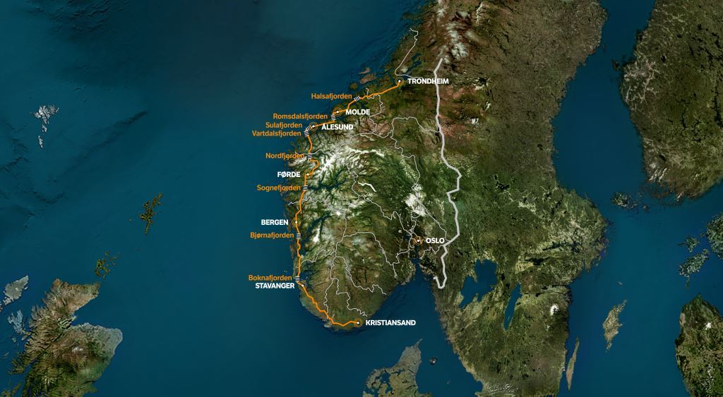
The fjords - Vartdalsfjorden, Sulafjorden, Romsdalsfjorden and Halsafjorden – are in the county of Møre og Romsdal. The work is in addition to a 12-year environmental measurement programme relating to the major route, which Fugro was awarded in 2016.
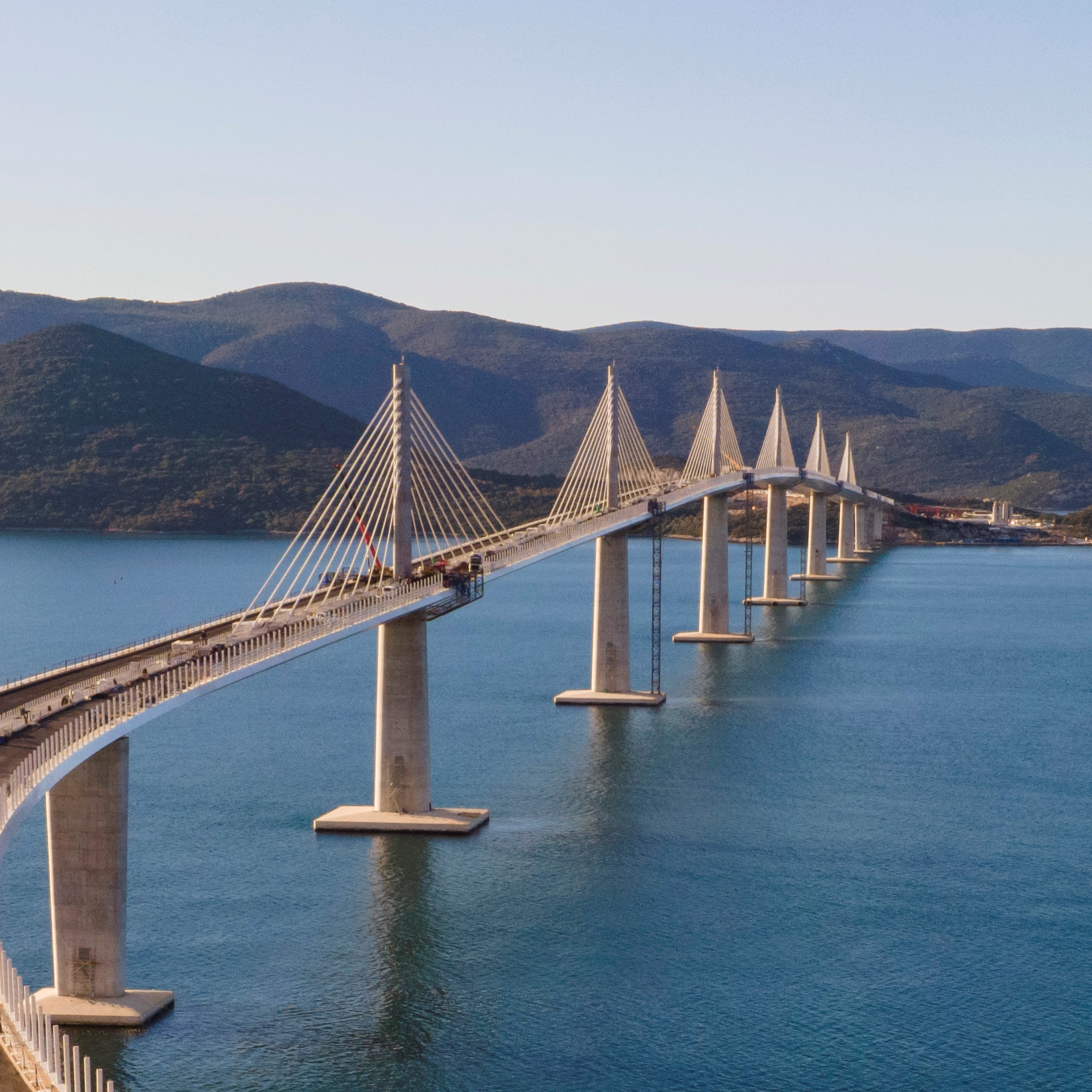
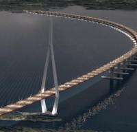
The geophysical and geotechnical data will be used for foundation designs of the bridge and tunnel solutions for the fjord crossings along the coastal route. Above and below sea level tunnels; an end-anchored floating bridge; a submerged floating tube bridge; and multi-span suspension bridge are amongst the solutions being considered by NPRA to create the ferry-free route.
Fugro’s work is split into two phases. Phase one encompasses geophysical mapping of the fjord-crossing areas, where two vessels will be used to acquire geophysical and shallow geotechnical data. Survey vessel Fugro Helmert will cover shallow, nearshore areas to acquire multi-channel sparker data. From the second vessel Fugro will acquire detailed geophysical data in the deeper parts of the fjords using a remotely operated vehicle (ROV) and will also undertake seabed sampling and cone penetration testing.
Phase two, which has a planned start date of August 2018, will see Fugro perform geotechnical drilling at selected locations based on the geophysical data acquired in the first phase. For deeper geotechnical drilling during this phase, the high-tech drillship Fugro Synergy will be introduced.
“We started working with NPRA on the E39 Coastal Highway project last summer with a long-term programme to measure wind profiles, ocean waves and current profiles at three fjords,” explained Fugro's business development manager in Norway, Dag Sigurd Stensholt. “It makes us very proud to add our marine site characterisation services to such a huge and important venture.”